Explore The Arizona White Mountains
Events And Adventure In The Arizona White Mountains Get Our NewsletterExploring The Beautiful West Baldy Trail
Exploring West Baldy Trail: An Adventure in Arizona's White Mountains
In the heart of the Arizona White Mountains, the West Baldy Trail offers an unforgettable hiking experience for outdoor enthusiasts. This trail, renowned for its breathtaking scenery, diverse wildlife, and challenging terrain, is a must-visit for anyone looking to explore the natural beauty of Arizona. In this comprehensive guide, we'll cover everything you need to know about the West Baldy Trail, including its length, difficulty, location, elevation, landmarks, and detailed directions on how to get there.
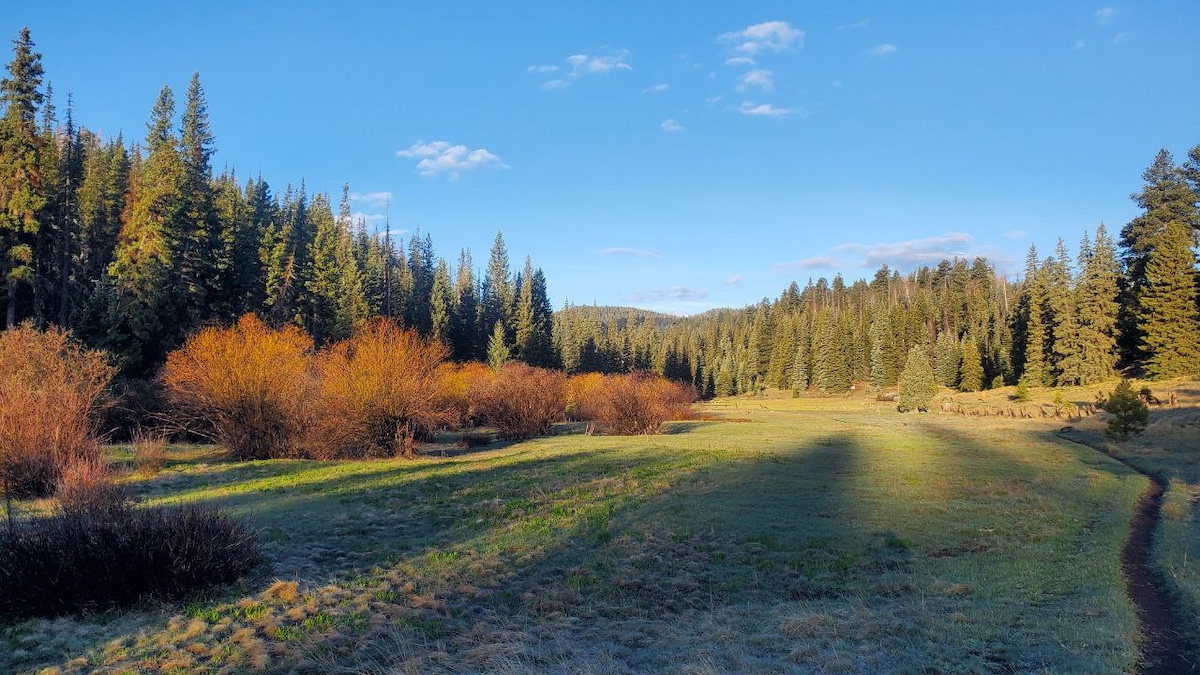
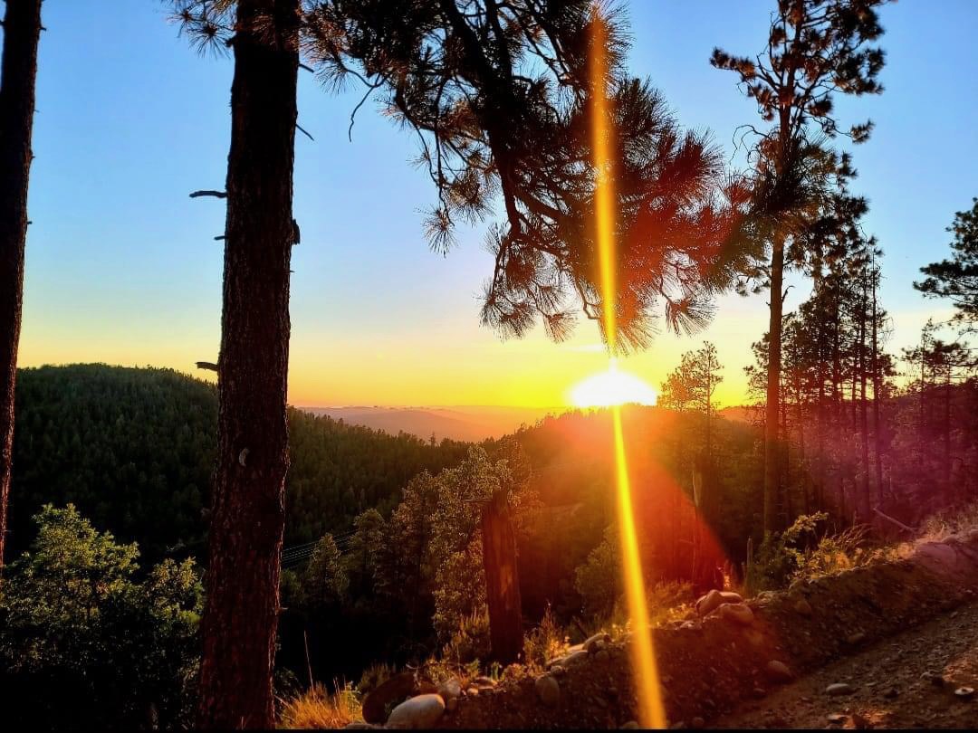
Photography by Randy Moe
Trail Overview
Length and Difficulty:
The West Baldy Trail is a 14-mile round trip that takes hikers through some of the most stunning landscapes in the White Mountains. Rated as a moderate to difficult trail, it requires a good level of fitness and hiking experience. The trail's elevation gain of approximately 2,300 feet adds to the challenge, but the rewards are well worth the effort.
Location:
The West Baldy Trail is located in the Apache-Sitgreaves National Forests, near Greer, Arizona. From the Eagar stoplight, travel west on AZ Highway 260 for 17.1 miles to AZ Highway 273. Turn left (south) onAZ Highway 273 for 7.6 miles. The trailhead is on the right.
You can also use this trailhead for the Railroad Grade Trail (Trail 601) and West Fork Trail(Trail 94). This area is known for its lush forests, alpine meadows, and clear streams, making it a perfect spot for nature lovers.
Elevation:
Starting at an elevation of around 9,200 feet, the West Baldy Trail climbs steadily to reach its highest point at Baldy Peak, which stands at an impressive 11,400 feet. The high elevation means that hikers should be prepared for cooler temperatures and the possibility of sudden weather changes, even in the summer months.
Landmarks:
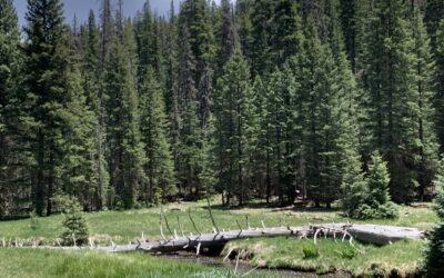
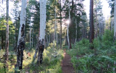
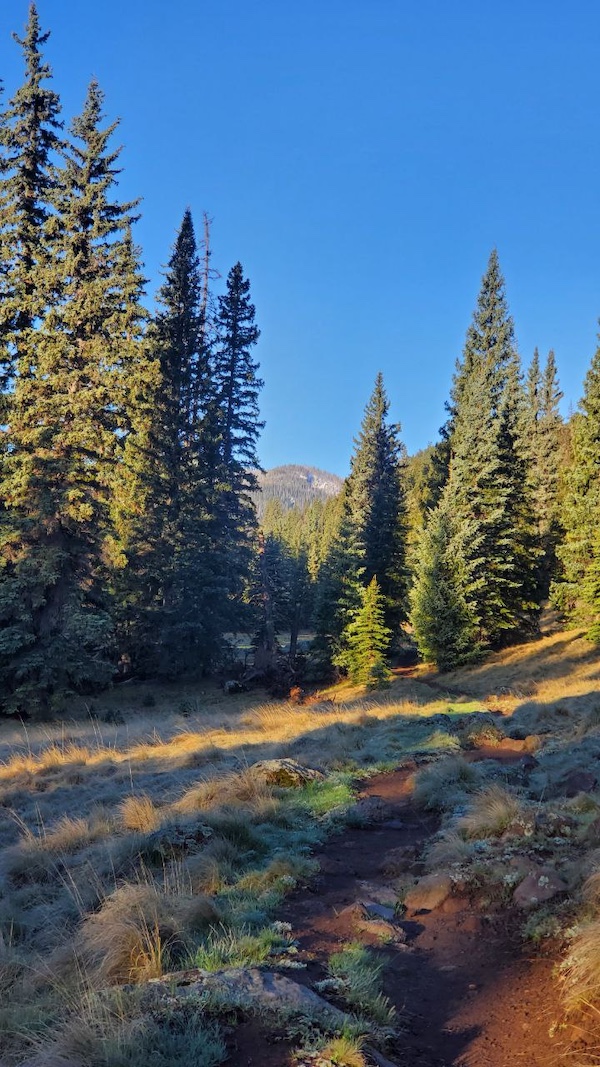
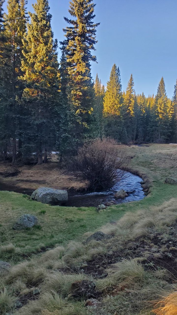
One of the trail's highlights is the scenic Little Colorado River, which runs alongside parts of the trail, providing a serene backdrop of flowing water and lush vegetation. Other notable landmarks include stunning views of Mount Baldy, expansive alpine meadows, and dense forests of spruce, fir, and aspen trees. Wildlife sightings are common, with elk, deer, and various bird species often spotted along the trail.
Detailed Trail Description
Starting Point:
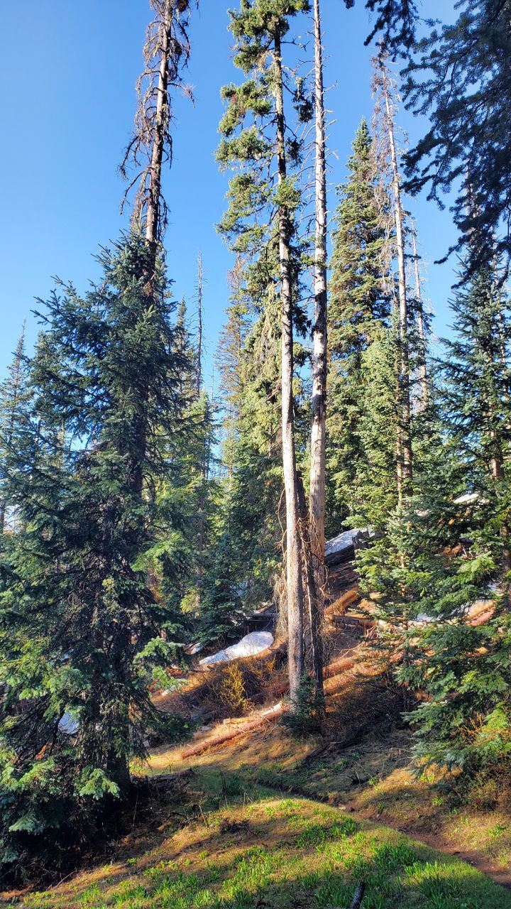
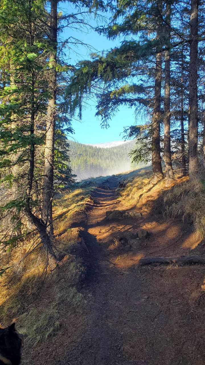
The adventure begins at the West Baldy Trailhead. From here, hikers will embark on a journey through diverse landscapes, starting with a gradual ascent through a dense forest of spruce and fir trees. The initial section of the trail is relatively gentle, allowing hikers to acclimate to the elevation and enjoy the serene forest environment.
Midpoint: Little Colorado River:
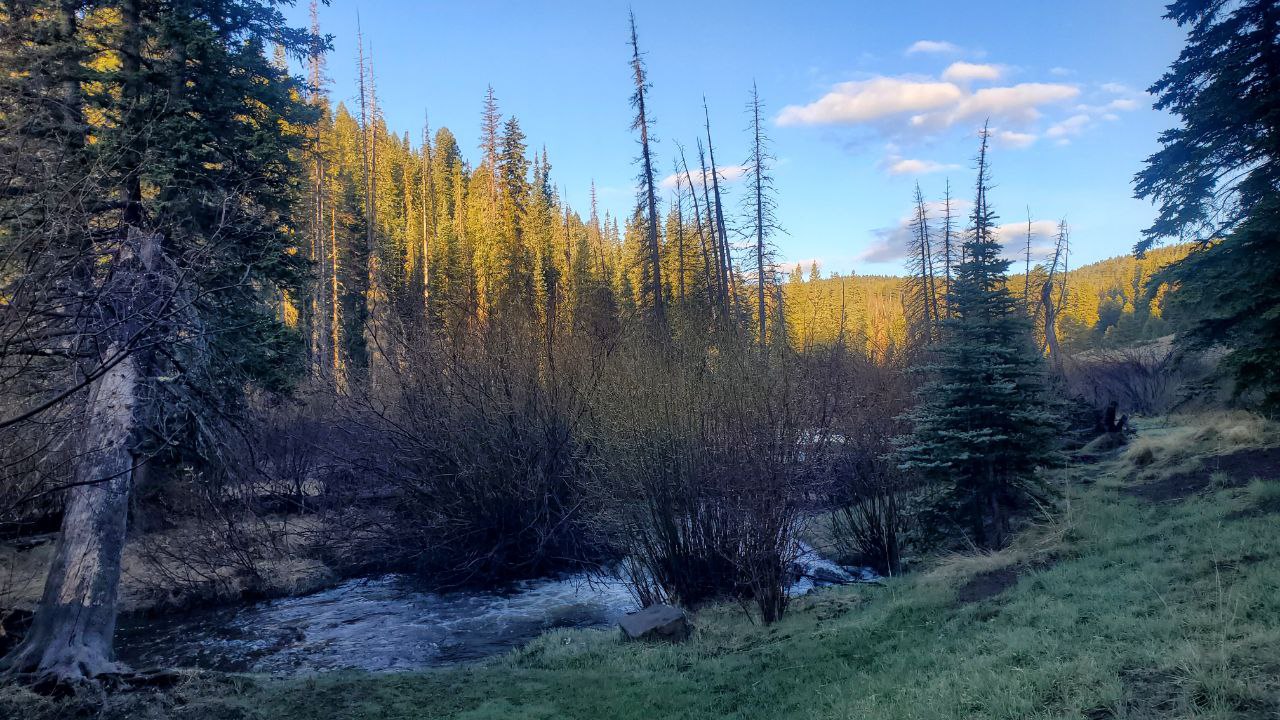
As the trail progresses, hikers will reach the picturesque Little Colorado River. The sound of the flowing water and the sight of the clear stream are truly enchanting. This section of the trail is relatively flat, offering a brief respite before the more challenging ascent begins. Hikers should take the time to appreciate the beauty of the river and perhaps even take a break by its banks.
Climbing to the Meadows:
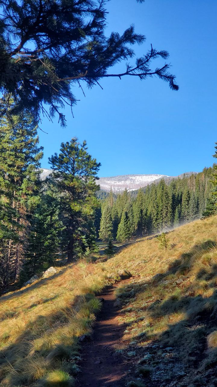
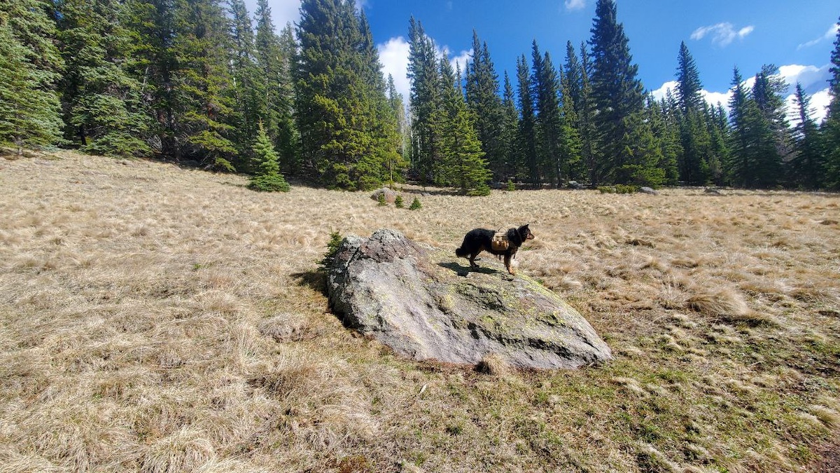
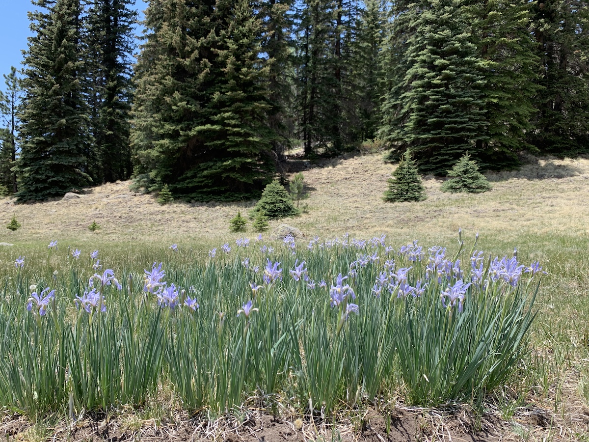
After crossing the Little Colorado River, the trail begins to climb more steeply. The forest starts to thin out, giving way to open meadows adorned with wildflowers during the spring and summer months. These meadows offer panoramic views of the surrounding mountains and valleys, providing perfect photo opportunities.
The Final Ascent to Baldy Peak:
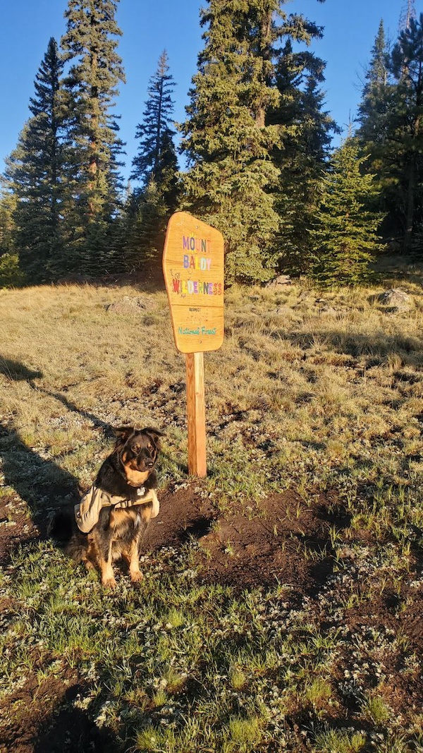
While no longer open to the public, the final stretch of the trail is the most challenging. The steep ascent to the summit of Baldy Peak was closed to public use as the area has special significance to the White Mountain Apache Tribe.
Practical Information
Best Time to Hike:
The best time to hike the West Baldy Trail is from late spring to early fall, when the weather is more predictable and the trail is free of snow. Summer months offer the most comfortable temperatures, but hikers should still be prepared for cooler weather at higher elevations. Fall is also a great time to visit, with the changing colors of the leaves adding to the trail's beauty.
What to Bring:
Hikers should come prepared with the following essentials:
- Plenty of water and snacks
- Sturdy hiking boots
- Layers of clothing to adjust to changing temperatures
- A map and compass or GPS device
- Sunscreen and a hat
- First aid kit
- A camera to capture the stunning scenery
Safety Tips:
- Be aware of the altitude and take it slow to avoid altitude sickness.
- Stay on the trail to protect the fragile alpine environment.
- Keep an eye on the weather and be prepared for sudden changes.
- Let someone know your hiking plans and estimated return time.
Directions to the West Baldy Trailhead
From Phoenix:
- Take US-60 E from Phoenix.
- Continue on US-60 E until you reach Show Low.
- From Show Low, take AZ-260 E towards Pinetop-Lakeside.
- Continue on AZ-260 E until you reach AZ-273.
- Take AZ-273 S and follow signs for Sunrise Park Resort.
- Continue on AZ-273 S until you reach signs for "Sheeps Crossing" where there is a place to park.
From Tucson:
- Take I-10 E from Tucson.
- Continue on I-10 E and take exit 352 for US-191 N.
- Follow US-191 N to AZ-260 E.
- Take AZ-260 E towards Pinetop-Lakeside.
- Continue on AZ-260 E until you reach AZ-273.
- Take AZ-273 S and follow signs for Sunrise Park Resort.
- Continue on AZ-273 S until you reach signs for "Sheeps Crossing" where there is a place to park.
From Flagstaff:
- Take I-40 E from Flagstaff.
- Continue on I-40 E and take exit 286 for AZ-77 S towards Show Low.
- Follow AZ-77 S to AZ-260 E.
- Take AZ-260 E towards Pinetop-Lakeside.
- Continue on AZ-260 E until you reach AZ-273.
- Take AZ-273 S and follow signs for Sunrise Park Resort.
- Continue on AZ-273 S until you reach signs for "Sheeps Crossing" where there is a place to park.
Conclusion
The West Baldy Trail is a true gem in Arizona's White Mountains, offering hikers a chance to explore some of the state's most beautiful and diverse landscapes. Whether you're an experienced hiker looking for a challenging adventure or a nature lover seeking tranquility and stunning scenery, the West Baldy Trail has something for everyone. With its breathtaking views, serene rivers, and lush forests, this trail promises an unforgettable outdoor experience. So pack your gear, hit the trail, and discover the magic of the West Baldy Trail.
Recent Articles
Dispersed Camping In Arizona’s White Mountain Alpine Ranger District
Unearth The Splendors of Dispersed Camping in Arizona's Alpine Ranger District A Comprehensive Guide to Camping in Arizona's White Mountain Region - Alpine Ranger District As the summer sun dips below the horizon, the chilly air of the Alpine Ranger District sweeps...
The Most Spectacular Arizona 4th Of July Celebration
The Ultimate Arizona 4th of July: Fireworks Extravaganza in the White Mountains Introduction The Arizona White Mountains transform into a dazzling wonderland every 4th of July weekend, hosting a series of spectacular events that promise fun, excitement, and...
Show Low 4th of July Celebrations
Revel in Patriotic Splendor:The Show Low 4th of July FreedomFest Extravaganza! Immerse yourself in the patriotic fervor of Show Low, Arizona, as the town comes alive with an extravagant parade, the enthralling Freedom Fest, and a fireworks show that lights up the...
Discover Featured Events In The Arizona White Mountains
Let's Go Hiking!
Endless trails throughout the Arizona White Mountain region!
The Challenging Chipmunk Connector #631A
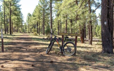
Photography by Jonathan AustenThe Call of the White Mountains: The Chipmunk Connector #631A Usually, I set off on my adventures by foot, every step a way to soak in nature. Today, I decided to change things up. I took my mountain bike off the wall in my garage, wiped...
Discover the Beauty of Los Burros Trail in the Arizona White Mountains
Explore Los Burros Trail in the Arizona White Mountains. A perfect destination for hiking, mountain biking, and horseback riding. Enjoy scenic views, diverse wildlife, and historical landmarks.
Hiking The Beautiful Billy Creek Connector #107A
Billy Creek Connector, a trail so nice I did it twice. Embrace the changing nature of each adventure. For it’s in these small, unexpected moments that the true beauty of exploration lies.
Don't Miss a Beat!
goWhiteMountains Magazine delivers featured articles
every month via email.
It's FREE
PLUS, updates on local seasonal events, places to go,
and things to see and do!
Sign up below!


