Explore The Arizona White Mountains
Events And Adventure In The Arizona White Mountains Get Our NewsletterPhotography by Jonathan Austen
The Call of the White Mountains: Timber Mesa Trail #636
The Call of the White Mountains: Timber Mesa Trail #636
For those venturing from lower elevations, it’s important to note that the White Mountains—and the Timber Mesa Trail in particular—reach an elevation of 6,919 feet. Even a casual stroll through downtown Show Low can leave you breathless if you’re not accustomed to the altitude. So, come prepared with plenty of water and take your time adjusting to the thinner air.
Now, with that out of the way, let’s get into our adventure.
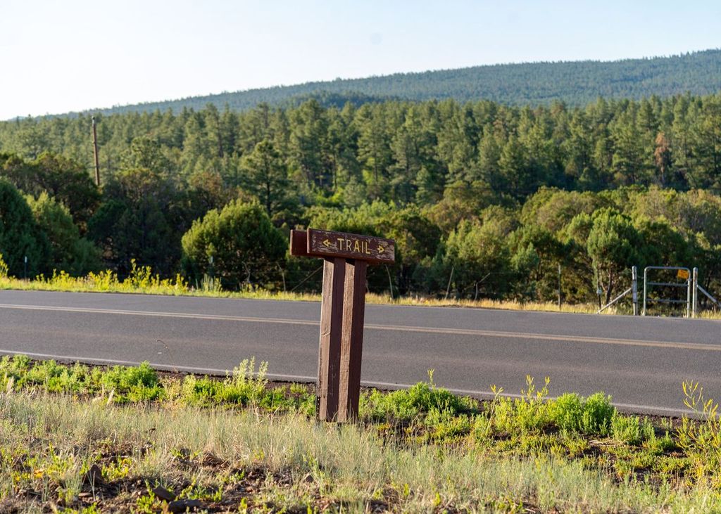
My client had a rather extreme request. Hike a very remote and dangerous trail for some photos and a story. Given my aversion to unnecessary risks (and the potential to meet my end at the bottom of a ravine), I suggested starting with something more manageable. I’d work my way up to the more treacherous paths. Hence, I found myself at Timber Mesa Trail #636, just off Porter Mountain Road in Pinetop.
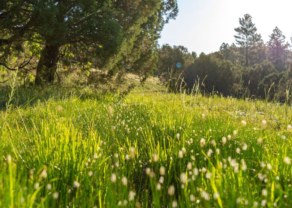
The morning was crisp. The kind that fills your lungs with the promise of adventure. As I parked my truck at the trailhead, I couldn’t help but admire the serene setting. To my left lay vast grassy plains, where cows and their calves grazed in peaceful harmony. Their calm demeanor was almost infectious making me feel at ease.
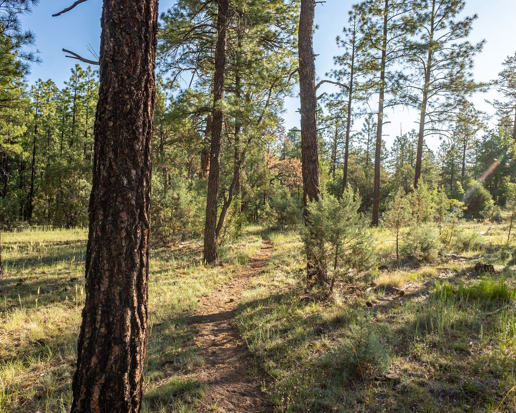
A few steps into the trail, my mind started to wander. The path of the Timber Mesa Trail was well-trodden. I wasn’t the first soul to explore these woods. I couldn’t help but think of the countless stories these trails could tell. Tales of hikers past. Each leaving a small imprint on this winding path.
About half a mile in, I was presented with my first choice. A fork in the trail. To the left lay the great unknown. A path that could lead to anywhere—or nowhere. It was a daunting 7.5-mile trail. Far too ambitious for my current level of fitness. To the right, however, was the Osprey Connector. A 2.5-mile stretch that seemed more suited to my level. The decision was simple. Right it was.
As I ventured down the Osprey Connector, the trail transformed. The landscape shifted. The atmosphere changed. Spider webs hung between the trees and bushes. Hidden strands stretched across the path. They caught me by surprise as I walked into them.
It was as if the spiders had laid traps for an unsuspecting traveler.
The eerie, almost enchanted feel of the trail made me think of Shelob from Lord of the Rings. As a fan of the series, I found myself both amused and on edge. Constantly glancing over my shoulder for any sign of eight-legged company.
I pressed onward. The pines and ponderosas stood tall. Silent sentinels. The scent of pine filled the air. Fresh and invigorating. The rocky ground underfoot added a rugged charm to the hike. Occasionally, a squirrel or rabbit darted across the path. A brief flash of life in the still forest.
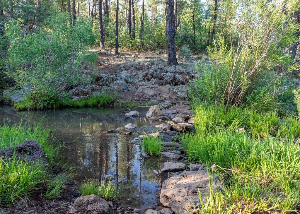
Soon, the trail began to wind downward. Reminiscent of a James Bond movie. Cars chasing each other down perilous S-curves on a mountainside. Eventually, the trail leveled out. And I was faced with another decision. Go right, back towards the trailhead and my truck. Or cross the road to continue my adventure. A quick consult with my trail map revealed that across the road lay Porter Creek. The allure of water was too strong to resist.
For this photographer, across the road I went.
The change in scenery was immediate. Striking. The air grew cooler. The trail became lush and vibrant. Teeming with life. It felt like stepping into a different world. One where nature ruled supreme. The drop in temperature was refreshing. A welcome relief from the warmth of the morning sun.
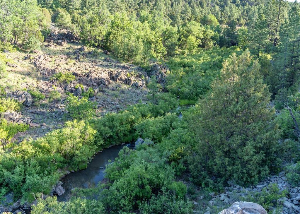
Approaching Porter Creek, I encountered another challenge. Crossing a series of unsteady rocks. Normally, my cautious nature would have had me put away my camera. Focusing on my footing. But then, feeling a bit daring, I recorded the soothing sounds of the creek. My phone in one hand. My camera in the other. I carefully navigated the rocks. Fortunately, I made it across without incident. The thrill of minor peril added an extra layer to the experience.
On the other side, the trail continued to enchant. Each step brought new sights and sounds. The rustling of pine needles. The distant calls of birds. I felt a deep connection to the surroundings. A sense of being part of something much larger.
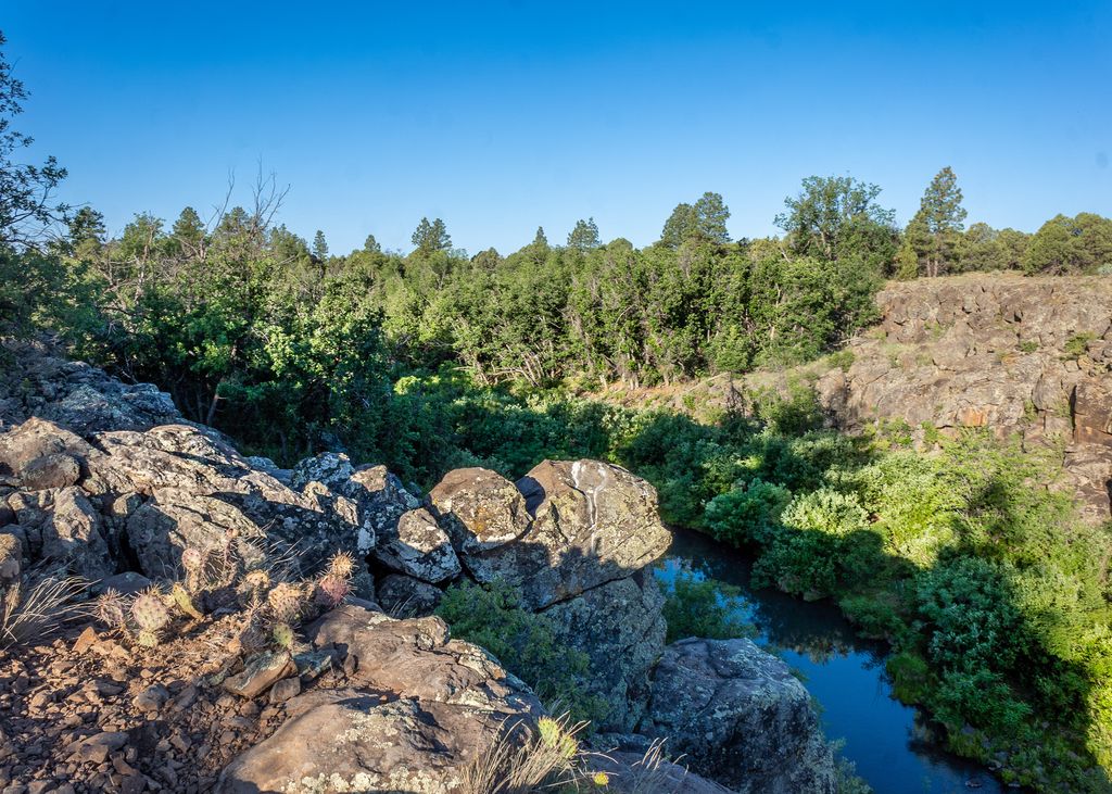
At one point, I found myself standing on the edge of a 100-foot cliff. Leaning over to try and get a shot of the creek with the walls of the ravine. I couldn’t help but laugh at the irony. My client had wanted me to take on a dangerous hike. And here I was, flirting with danger in my quest for the perfect photo. It was a momentary lapse in judgment. But fortunately, I managed to get the shot and step back safely.
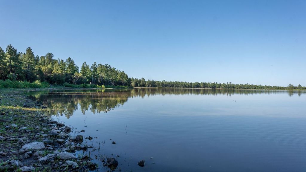
Eventually, I arrived at Scott Reservoir. A peaceful oasis amidst the forest. The water was still. The air cool and refreshing. I stood at the edge of the reservoir. Taking in the tranquil scene. Just me, a few birds, and the soft lapping of water against the shore.
It was a moment of pure serenity.
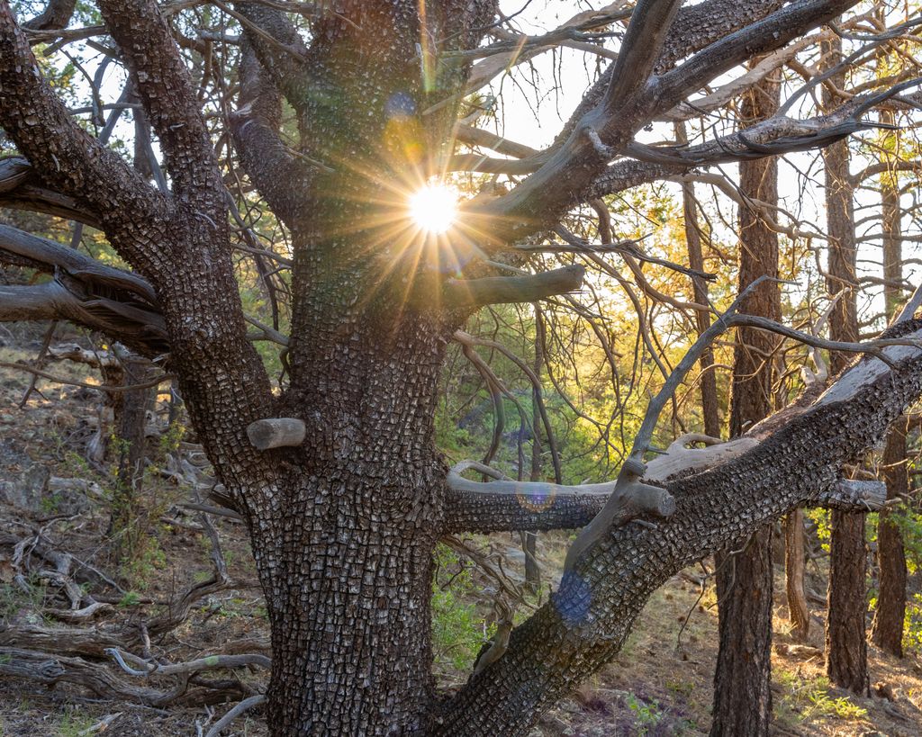
But all good things must come to an end. It was time to head back. The journey back, over the same Timber Mesa Trail path, felt entirely different. It was as if I was seeing everything anew. Each turn and twist offering a fresh perspective. It reminded me of two people on a train. One facing forward. The other backward. Both experience the same journey but see entirely different things.
As I neared the trailhead, I was greeted by several large cows. Their size akin to small sedans. I watched them. They watched me. I couldn’t resist taking a few photos. They graciously posed for me. As if knowing they were the stars of the moment.
Finally, I arrived back at my truck. Tired but content. The hike had been an adventure in every sense. Filled with moments of quiet reflection and bursts of excitement.
Now, let’s delve into the nitty-gritty details for the data enthusiasts.
Gear:
– Camera: Sony A7iii
– Lenses: Tamron 28-75mm f/2.8 and a Sony 16mm
– Phone: Apple iPhone 14, recording in 4K at 60fps
– Watch: Garmin Fenix 6 Solar
Hiking Data:
– Distance: 3.69 miles
– Elevation Ascent: 402 feet
– Time: 1 hour 30 minutes
– Pace: 24 minutes per mile
I hope you enjoyed this journey through part of Timber Mesa Trail #636. Stay tuned for my next adventure as I tackle another trail in the White Mountains. Perhaps one a bit more challenging. But only slightly.
Recent Articles
The Most Spectacular Arizona 4th Of July Celebration
The Ultimate Arizona 4th of July: Fireworks Extravaganza in the White Mountains Introduction The Arizona White Mountains transform into a dazzling wonderland every 4th of July weekend, hosting a series of spectacular events that promise fun, excitement, and...
Show Low 4th of July Celebrations
Revel in Patriotic Splendor:The Show Low 4th of July FreedomFest Extravaganza! Immerse yourself in the patriotic fervor of Show Low, Arizona, as the town comes alive with an extravagant parade, the enthralling Freedom Fest, and a fireworks show that lights up the...
The Challenging Chipmunk Connector #631A
Photography by Jonathan AustenThe Call of the White Mountains: The Chipmunk Connector #631A Usually, I set off on my adventures by foot, every step a way to soak in nature. Today, I decided to change things up. I took my mountain bike off the wall in my garage, wiped...
Discover Featured Events In The Arizona White Mountains
Let’s Go Hiking!
Endless trails throughout the Arizona White Mountain region!
The Challenging Chipmunk Connector #631A
Photography by Jonathan AustenThe Call of the White Mountains: The Chipmunk Connector #631A Usually, I set off on my adventures by foot, every step a way to soak in nature. Today, I decided to change things up. I took my mountain bike off the wall in my garage, wiped...
Discover the Beauty of Los Burros Trail in the Arizona White Mountains
Explore Los Burros Trail in the Arizona White Mountains. A perfect destination for hiking, mountain biking, and horseback riding. Enjoy scenic views, diverse wildlife, and historical landmarks.
Hiking The Beautiful Billy Creek Connector #107A
Billy Creek Connector, a trail so nice I did it twice. Embrace the changing nature of each adventure. For it’s in these small, unexpected moments that the true beauty of exploration lies.
Don’t Miss a Beat!
goWhiteMountains Magazine delivers featured articles
every month via email.
It’s FREE
PLUS, updates on local seasonal events, places to go,
and things to see and do!
Sign up below!

